Skip to Content
Sky Survey USA
Home
Services
About
Contact
Blog
0
0
Order Now
Sky Survey USA
Home
Services
About
Contact
Blog
0
0
Order Now
Home
Services
About
Contact
Blog
Order Now
Store Land/Property Survey Package
cover suggestion 2.jpeg Image 1 of 8
cover suggestion 2.jpeg
Screenshot 2025-02-28 at 4.45.00 PM.png Image 2 of 8
Screenshot 2025-02-28 at 4.45.00 PM.png
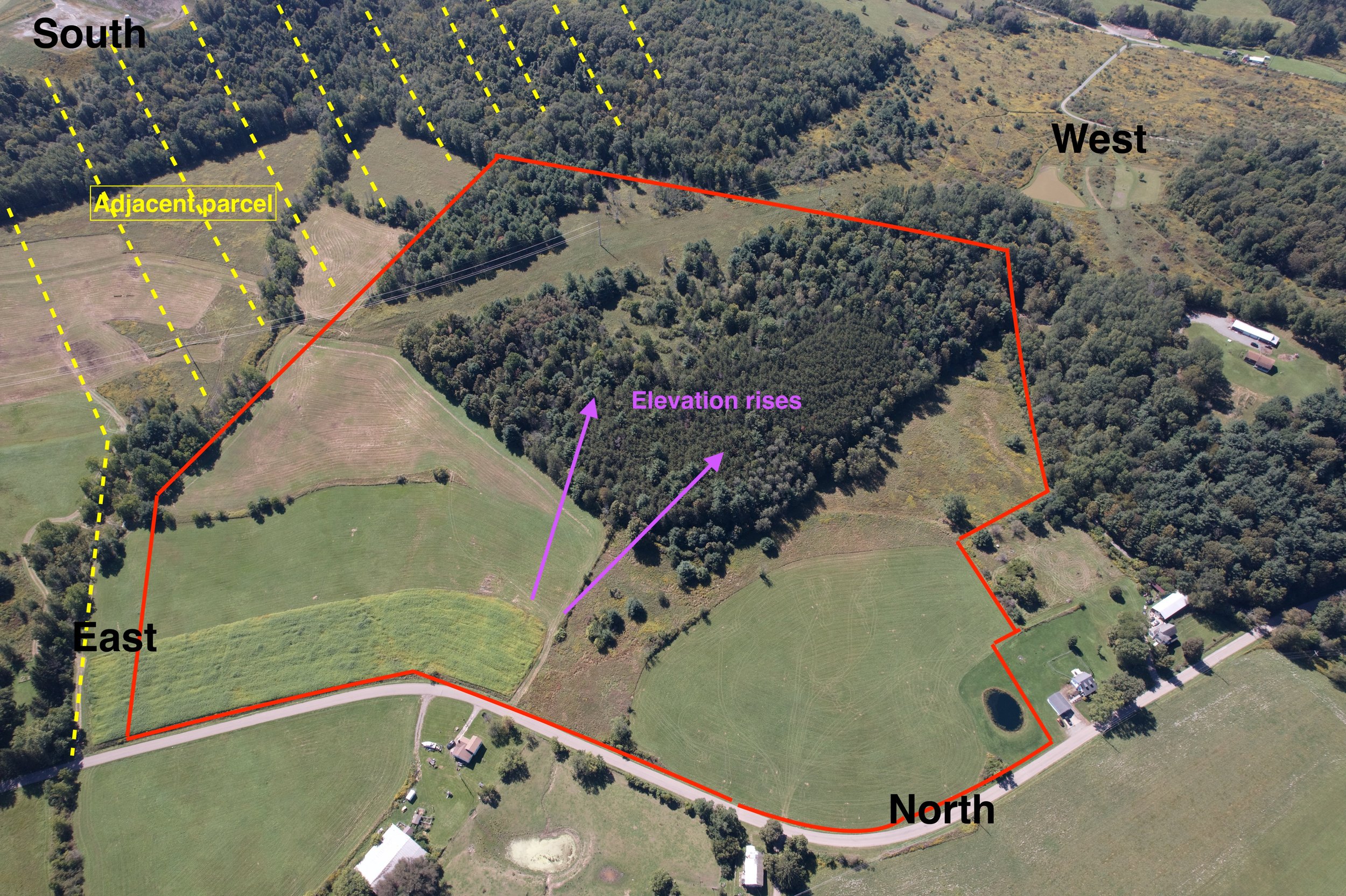
Annotated Aerial.JPG Image 3 of 8
Annotated Aerial.JPG
Screenshot 2025-02-28 at 4.45.59 PM.png Image 4 of 8
Screenshot 2025-02-28 at 4.45.59 PM.png
Screenshot 2025-02-28 at 4.45.32 PM.png Image 5 of 8
Screenshot 2025-02-28 at 4.45.32 PM.png
annotatedaerial.jpeg Image 6 of 8
annotatedaerial.jpeg
Annotated Aerial Full.png Image 7 of 8
Annotated Aerial Full.png
aerial front mid.jpeg Image 8 of 8
aerial front mid.jpeg
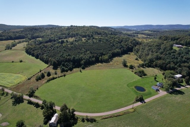
cover suggestion 2.jpeg
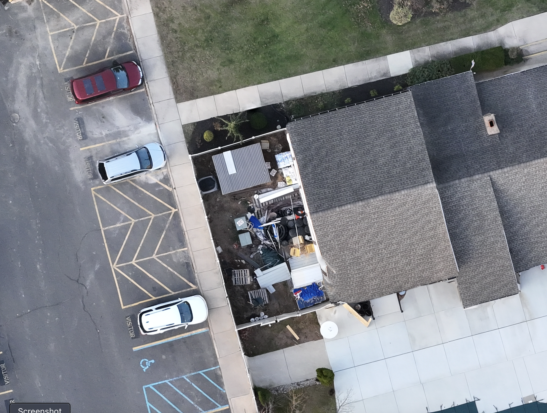
Screenshot 2025-02-28 at 4.45.00 PM.png
Annotated Aerial.JPG
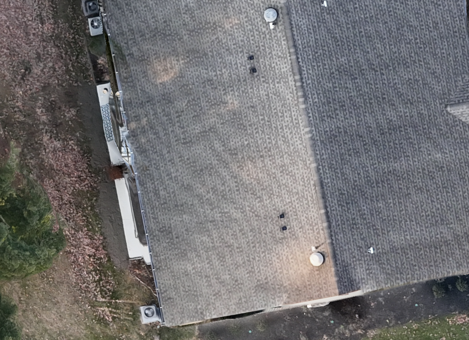
Screenshot 2025-02-28 at 4.45.59 PM.png
Screenshot 2025-02-28 at 4.45.32 PM.png
annotatedaerial.jpeg
Annotated Aerial Full.png
aerial front mid.jpeg

Land/Property Survey Package

$500.00

Includes 5 video clips, 30 hi-res photos, an annotated high-altitude aerial photo and full marketing report for one, low price. Add on an ultra-hi res orthophoto or premium video package. Price is per lot or site.

Quantity:
Add To Cart

Includes 5 video clips, 30 hi-res photos, an annotated high-altitude aerial photo and full marketing report for one, low price. Add on an ultra-hi res orthophoto or premium video package. Price is per lot or site.

Add: Premium 4K Video Package
$400.00
Add: Hi-res Orthophoto
$250.00
Add: RTK Precision GPS Correction
$250.00

Includes 5 video clips, 30 hi-res photos, an annotated high-altitude aerial photo and full marketing report for one, low price. Add on an ultra-hi res orthophoto or premium video package. Price is per lot or site.

You Might Also Like

Screenshot 2025-03-11 at 6.14.16 PM.png Screenshot 2025-03-11 at 6.14.16 PM.png Screenshot 2025-03-11 at 6.14.16 PM.png Screenshot 2025-03-11 at 6.14.16 PM.png Screenshot 2025-03-11 at 6.14.16 PM.png
SkySafe Aerial Property Report
$850.00
Premium Precision Mapping Package DJI_20241004134857_0044_V.JPG DJI_20241003104302_0002_V.JPG DJI_20241003104420_0021_V.JPG DJI_20241003104534_0027_V.JPG DJI_20241003104537_0029_V.JPG DJI_20241003105531_0192_V.JPG DJI_20241003105534_0193_V.JPG DJI_20241003105536_0194_V.JPG DJI_20241003105538_0195_V.JPG DJI_20241003105541_0196_V.JPG DJI_20241003105542_0197_V.JPG DJI_20241003105544_0198_V.JPG
Premium Precision Mapping Package
$1,250.00
404674860_203132549502584_5165332672776814575_n-1-e1718111799934-1024x622.jpg 404674860_203132549502584_5165332672776814575_n-1-e1718111799934-1024x622.jpg 404674860_203132549502584_5165332672776814575_n-1-e1718111799934-1024x622.jpg 404674860_203132549502584_5165332672776814575_n-1-e1718111799934-1024x622.jpg
Utilities, Volumetrics, 3D Scans & More
$0.00

SkySurveyUSA.com

Looking for Commercial Real Estate Media?

Visit www.getdronefootage.com

A Division of Mid-Atlantic Drone Services LLC

About Us

Contact

Site Map