Skip to Content
Sky Survey USA
Home
Services
About
Contact
Blog
0
0
Order Now
Sky Survey USA
Home
Services
About
Contact
Blog
0
0
Order Now
Home
Services
About
Contact
Blog
Order Now
Store Add: RTK Precision GPS Correction
rtk-logo-rtk-letter-rtk-letter-logo-design-initials-rtk-logo-linked-with-circle-and-uppercase-monogram-logo-rtk-typography-for-technology-business-and-real-estate-brand-vector.jpg Image 1 of
rtk-logo-rtk-letter-rtk-letter-logo-design-initials-rtk-logo-linked-with-circle-and-uppercase-monogram-logo-rtk-typography-for-technology-business-and-real-estate-brand-vector.jpg

Add: RTK Precision GPS Correction

$250.00

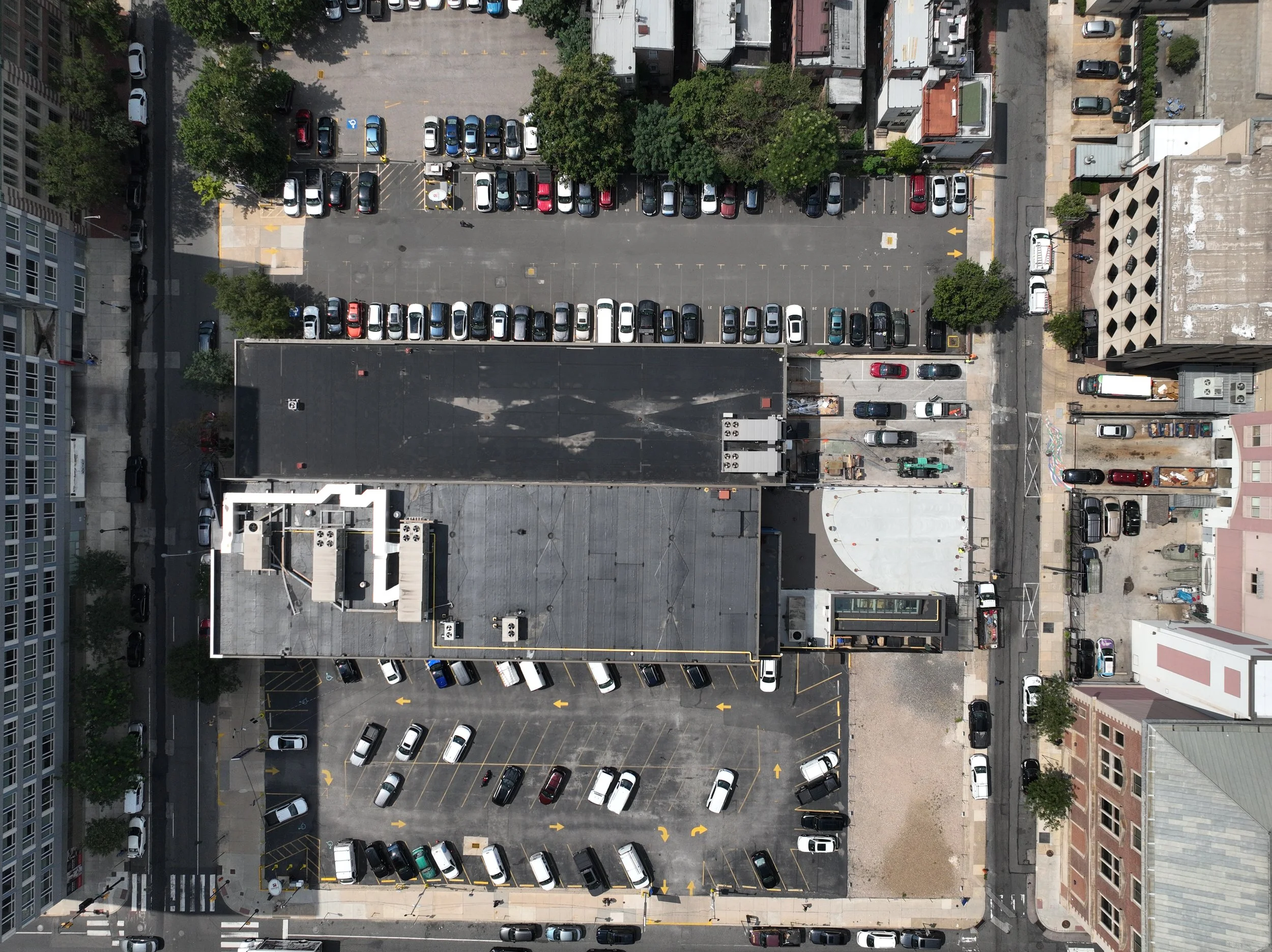
Normal GPS tagged images are accurate to within 3-10 feet. But using the latest in drone technology (called RTK or Real-Time Kinematics), SkySurveyUSA offers geotagging accurate within one centimeter. Every image is tagged to the drone’s exact location. This enables us to offer hyper-accurate orthophotos and maps. Available with all packages. Does not include additional media.

Quantity:
Add To Cart (add-on only)

Normal GPS tagged images are accurate to within 3-10 feet. But using the latest in drone technology (called RTK or Real-Time Kinematics), SkySurveyUSA offers geotagging accurate within one centimeter. Every image is tagged to the drone’s exact location. This enables us to offer hyper-accurate orthophotos and maps. Available with all packages. Does not include additional media.

Normal GPS tagged images are accurate to within 3-10 feet. But using the latest in drone technology (called RTK or Real-Time Kinematics), SkySurveyUSA offers geotagging accurate within one centimeter. Every image is tagged to the drone’s exact location. This enables us to offer hyper-accurate orthophotos and maps. Available with all packages. Does not include additional media.
You Might Also Like

Add: Premium 4K Video Package
$400.00
Add: Hi-res Orthophoto DJI_20240826133644_0001_V.JPG DJI_20240828173709_0004_V.JPG DJI_20240903161914_0005_V.JPG
Add: Hi-res Orthophoto
$250.00
DJI_20250307002426_0018_D.JPG DJI_20250307002426_0018_D.JPG DJI_20250307002426_0018_D.JPG DJI_20250307002426_0018_D.JPG
SkyEye Walkthrough PLUS +
$450.00
404674860_203132549502584_5165332672776814575_n-1-e1718111799934-1024x622.jpg 404674860_203132549502584_5165332672776814575_n-1-e1718111799934-1024x622.jpg 404674860_203132549502584_5165332672776814575_n-1-e1718111799934-1024x622.jpg 404674860_203132549502584_5165332672776814575_n-1-e1718111799934-1024x622.jpg
Utilities, Volumetrics, 3D Scans & More
$0.00
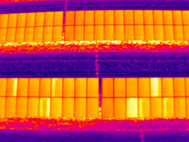
Add: 4K or Thermal Video 612583e0e18891f20ed7fe9a136b66c8.jpg
Add: 4K or Thermal Video
$250.00

SkySurveyUSA.com

Looking for Commercial Real Estate Media?

Visit www.getdronefootage.com

A Division of Mid-Atlantic Drone Services LLC

About Us

Contact

Site Map