


Precision Drone Data for Unique Business Insights

SkySurveyUSA offers precision drone services for construction in Indianapolis, IN, and surrounding Marion, Hamilton, and Hendricks Counties. We provide aggregate volume measurements, 3D modeling, precision mapping, and thermal inspections for multi-resident communities. Our drones ensure accurate data for construction progress and safety. Trust our nationwide pilots for reliable results. Explore our solutions on our homepage or store.
Drones in Action: Your Guide to Aerial Survey Solutions
Drones are revolutionizing how property managers, roofers, contractors, construction professionals, excavators, aggregate industries, search-and-rescue teams, community managers, paving companies, and utilities operate. The Federal Aviation Administration (FAA) regulates U.S. airspace, ensuring safe drone operations for professional applications.
Commercial drone pilots, conducting property inspections, site monitoring, or volume measurements, require a Part 107 license, obtained by passing a test on airspace, safety, and weather. These professionals use drones for high-resolution imagery, 3D modeling, and precise data collection. Recreational drone use, while simpler, still falls under the Recreational Exemption (49 USC 44809), requiring the Recreational UAS Safety Test (TRUST), keeping drones under 55 pounds, and flying below 400 feet in uncontrolled airspace. All drones over 0.55 pounds must be registered, and operators must maintain visual line of sight.
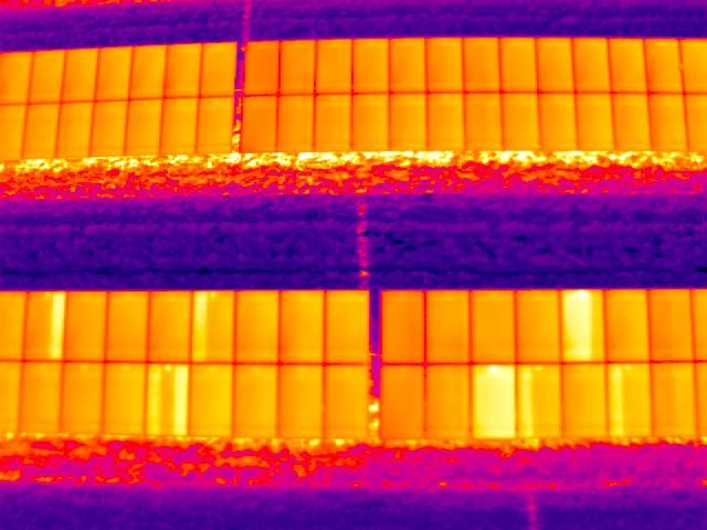
From late 2024 through May 2025, drone activity has surged across industries, from construction site mapping to search-and-rescue missions. These operations are typically legal, supporting tasks like roof inspections, stockpile measurements, utility surveys, and emergency response. Drones excel in photogrammetry, topographic mapping, thermal imaging, and infrastructure analysis, delivering critical data to professionals.
For reliable aerial survey services, www.SkySurveyUSA.com manages all FAA regulations, insurance, and delivers high-quality results tailored for property managers, contractors, roofers, excavators, search-and-rescue teams, and more. Professionals can verify local flight rules using apps like B4UFLY or report unsafe operations to the FAA. As drones become essential tools, understanding their capabilities and regulations empowers industries to leverage their potential.